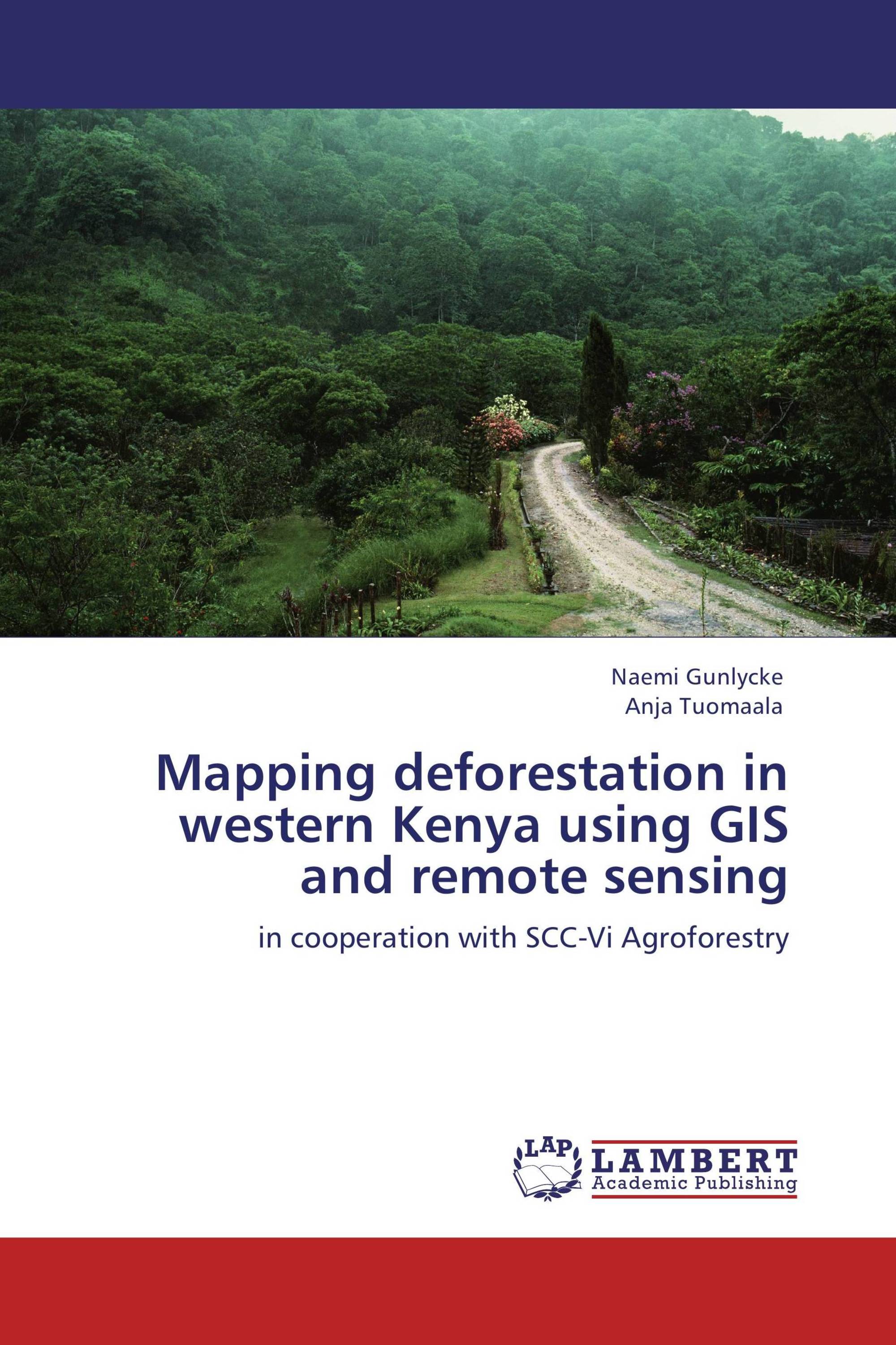
Mapping deforestation in western Kenya using GIS and remote sensing
in cooperation with SCC-Vi Agroforestry
€ 49,00
Deforestation is today a worldwide problem and despite increasing efforts regarding forest management and forest conservation, the issue remains. Human activities are a major cause and forests are continuously turning into other land uses such as agriculture and pasture. Africa is a continent with fast growing population and during the last century major impacts has been seen in the African landscape. This study was conducted in Kenya in eastern Africa in cooperation with SCC-Vi Agroforestry. The study area is located in Marakwet district which holds one of the largest remaining natural forests in the country. This forest is experiencing a severe ongoing illegal deforestation. The study investigated the forest degradation during the period 1986-2009. Satellite data was used to detect the deforestation and GIS software was used for mapping and analysis. The results indicate great changes in forest cover. During the 23 year period, 4 149 hectares of forest was cleared – representing a 14 percent decrease of forest cover. The created future scenario indicates that if nothing is done to prevent the ongoing deforestation, 45 percent of the forest will be cut down until the year 2100.
Book Details: |
|
|
ISBN-13: |
978-3-8465-5356-5 |
|
ISBN-10: |
3846553565 |
|
EAN: |
9783846553565 |
|
Book language: |
English |
|
By (author) : |
Naemi Gunlycke |
|
Number of pages: |
80 |
|
Published on: |
2011-12-20 |
|
Category: |
Agriculture, horticulture, forestry, fishery, nutrition |
