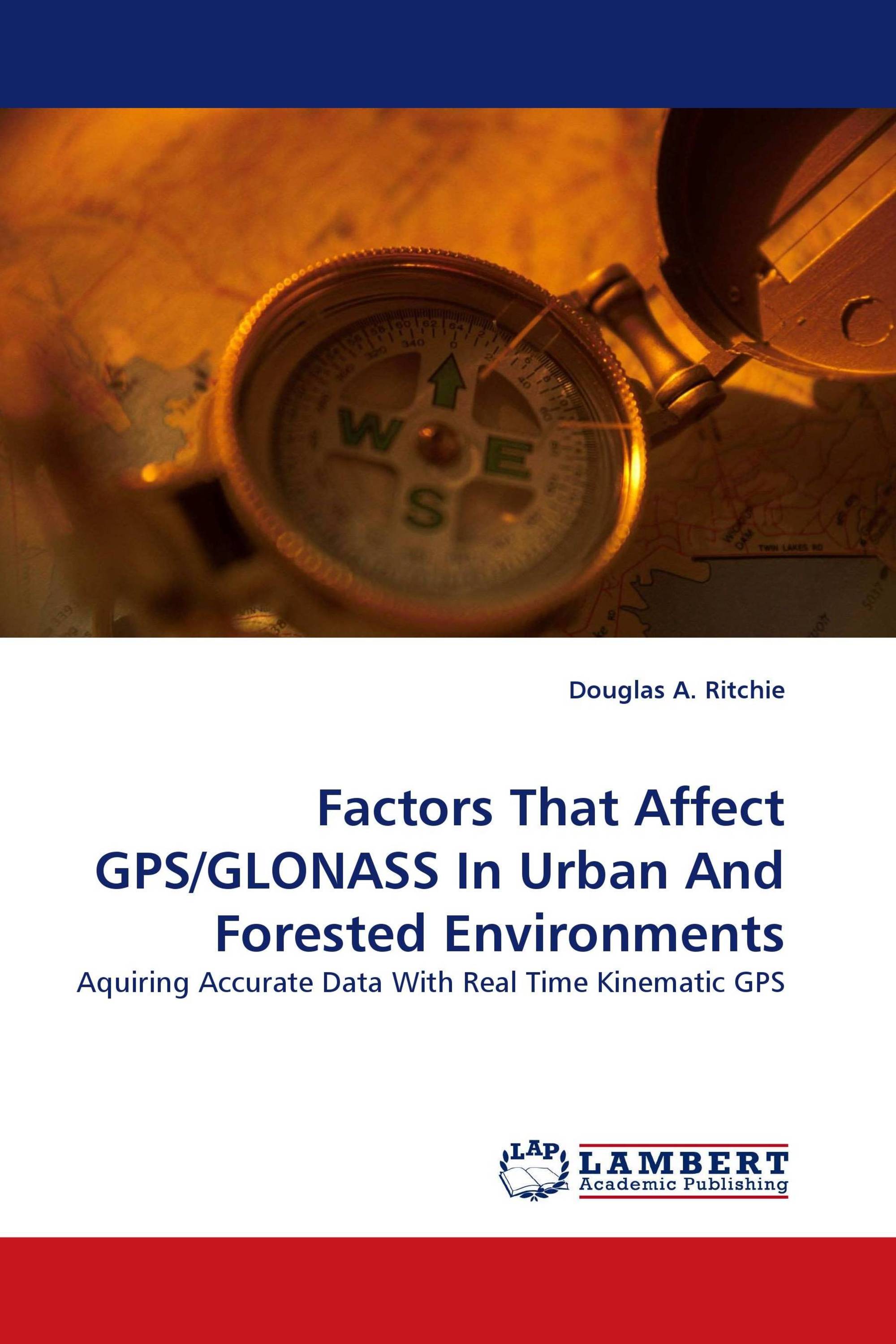
Factors That Affect GPS/GLONASS In Urban And Forested Environments
Aquiring Accurate Data With Real Time Kinematic GPS
LAP Lambert Academic Publishing ( 2010-05-18 )
€ 59,00
The Purpose of this study was to evaluate the accuracy in real time measurements acquired from GPS and GLONASS satellite observations using RTK techniques in an urban and forested environment. To determine this accuracy, 2 data sets of 3- dimensional coordinates were created and compared at 14 stations situated at East Tennessee State University. One data set included coordinates determined by conventional land survey methods; the second was solved by RTK GPS-GLONASS. Once the magnitude of any deviation in the coordinate positions was determined, the contributions to the accuracies from cycle slips, multipath, satellite availability, PDOP, and fixed or float solutions were evaluated and discussed. This analysis should assist novice and experienced users in applying GPS/GLONASS data collection techniques and collecting accurate coordinate data for their scientific or professional work.
Book Details: |
|
|
ISBN-13: |
978-3-8383-0630-8 |
|
ISBN-10: |
3838306309 |
|
EAN: |
9783838306308 |
|
Book language: |
English |
|
By (author) : |
Douglas A. Ritchie |
|
Number of pages: |
144 |
|
Published on: |
2010-05-18 |
|
Category: |
Geology |


