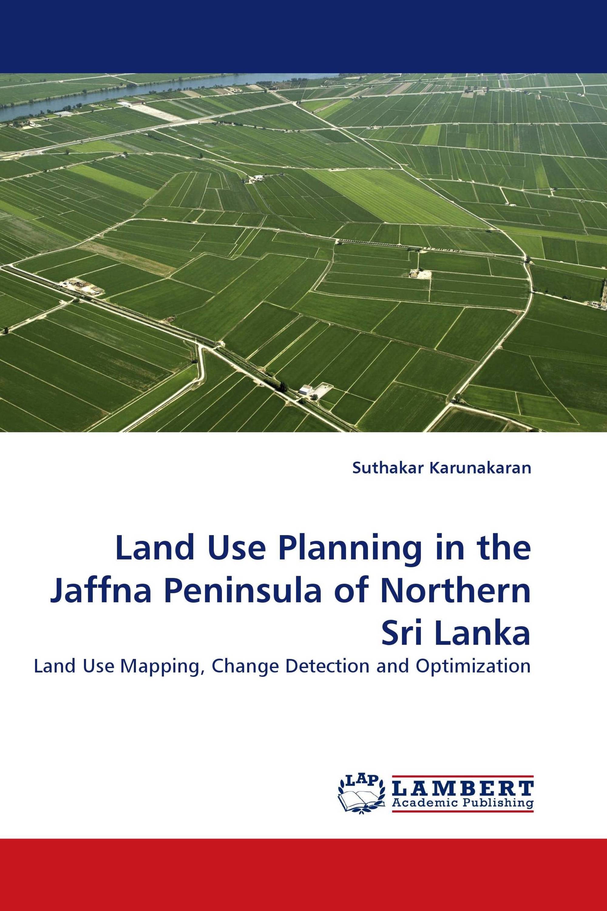
Land Use Planning in the Jaffna Peninsula of Northern Sri Lanka
Land Use Mapping, Change Detection and Optimization
LAP Lambert Academic Publishing ( 2011-05-13 )
€ 79,00
Biophysical and socio-economic information in space and time is required to aid decision making in the context of sustainable development. Knowledge of spatial distribution of land use/cover categories and the pattern of their change is a prerequisite for sustainable planning, use, and management of the land resources of a country. Object oriented image classification of multi-temporal satellite data is used to measure and spatially characterize land use changes in the Jaffna peninsula, northern Sri Lanka, from 1984 to 2004. During this period, Jaffna Peninsula has been impacted severely by armed conflict.GIS is used to analyze the spatial pattern of land use/cover changes over the time period. Possible scenarios for land use allocation are investigated using multiple goal linear programming. Maps of the optimal land use allocation under different scenarios are produced. The feasibility of the optimized outcomes of land use allocation under various scenarios is considered in terms of trade-offs and stakeholder preferences. The results of this work provide a sound basis for future sustainable development planning in Jaffna Peninsula.
Book Details: |
|
|
ISBN-13: |
978-3-8383-6366-0 |
|
ISBN-10: |
3838363663 |
|
EAN: |
9783838363660 |
|
Book language: |
English |
|
By (author) : |
Suthakar Karunakaran |
|
Number of pages: |
336 |
|
Published on: |
2011-05-13 |
|
Category: |
City and regional sociology |


