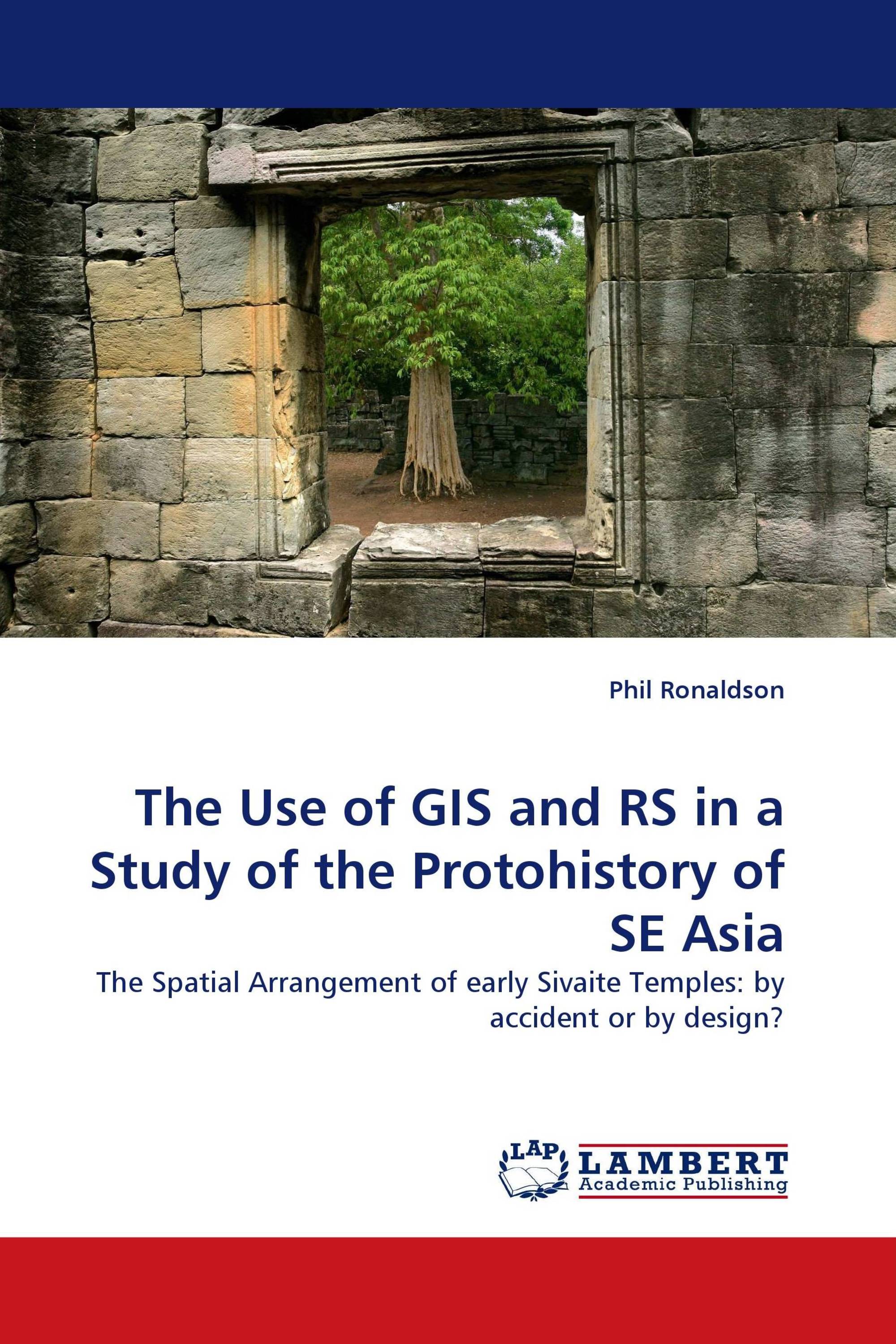
The Use of GIS and RS in a Study of the Protohistory of SE Asia
The Spatial Arrangement of early Sivaite Temples: by accident or by design?
LAP Lambert Academic Publishing ( 2010-05-22 )
€ 68,00
This book draws on many modern accounts of the histories of various sciences – Astronomy, Mathematics, Mapping and Surveying – and of the Hindu religion, to attempt to demonstrate that the Indianised religious leaders of SE Asia could have set out their early temples in a spatial pattern covering the region. The Hindu religion is shown to be several millennia old, dating from shortly after the end of the last Ice Age, based on stories of the Sarasvati River. The knowledge and capability of Indians to set out towns in a regular pattern are shown to date from at least 2,000 B.C. Plane table mapping is shown to date from about 2,000 B.C. The text also demonstrates the process of mosaicing modern satellite images to cover a region. It then demonstrates the use of a GIS to map the locations of more than 1,400 sites of Indic ruins across southeast Asia, finishing with an explanation of why the temples could have been set out in a regular pattern covering southeast Asia. This book will be of use to those people interested in southeast Asian protohistory, especially in the spread of Sivaite temples across the region.
Book Details: |
|
|
ISBN-13: |
978-3-8383-1629-1 |
|
ISBN-10: |
3838316290 |
|
EAN: |
9783838316291 |
|
Book language: |
English |
|
By (author) : |
Phil Ronaldson |
|
Number of pages: |
184 |
|
Published on: |
2010-05-22 |
|
Category: |
History |


