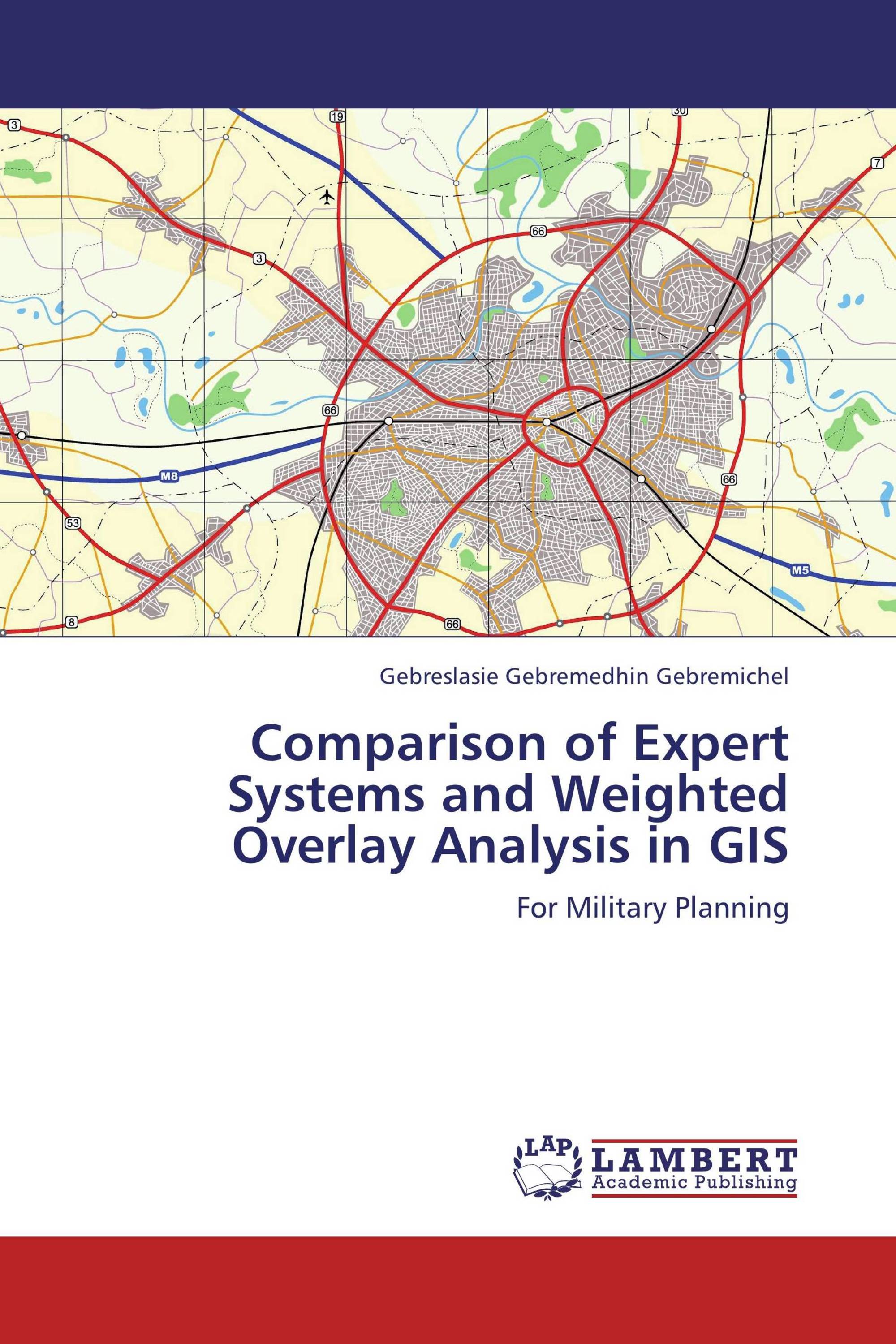
The successes of military operations depend on how decision makers and planners have evaluated the battle field prior to the deployment of armed forces on the ground. The study of off-road trafficability of the terrain is one of the key military operations that should be provided for military commanders at all levels in a real time scenario. This can rarely be provided using paper maps. This book comparatively evaluates the state-of-the-art of spatial modeling techniques for off-road trafficability analysis of wheeled military vehicles using GIS and remote sensing techniques. The Expert systems and Weighted Overlay Analysis were comparatively studied for modeling off-road trafficability. Similar data layers of Lu/Lc, Soil, Slope, Rivers and Manmade obstacles were used to generate the off-road trafficability maps from the two methods. The goal of comparison of these decision making tools was to test whether data in an ordinal scale from the Weighted Overlay Analysis produce comparable result with the Expert system that use hierarchy of decision tree. The results showed that there are strong spatial Correlations between the outputs from the two methods.
Book Details: |
|
|
ISBN-13: |
978-3-659-40901-1 |
|
ISBN-10: |
3659409014 |
|
EAN: |
9783659409011 |
|
Book language: |
English |
|
By (author) : |
Gebreslasie Gebremedhin Gebremichel |
|
Number of pages: |
80 |
|
Published on: |
2013-06-17 |
|
Category: |
Other |
