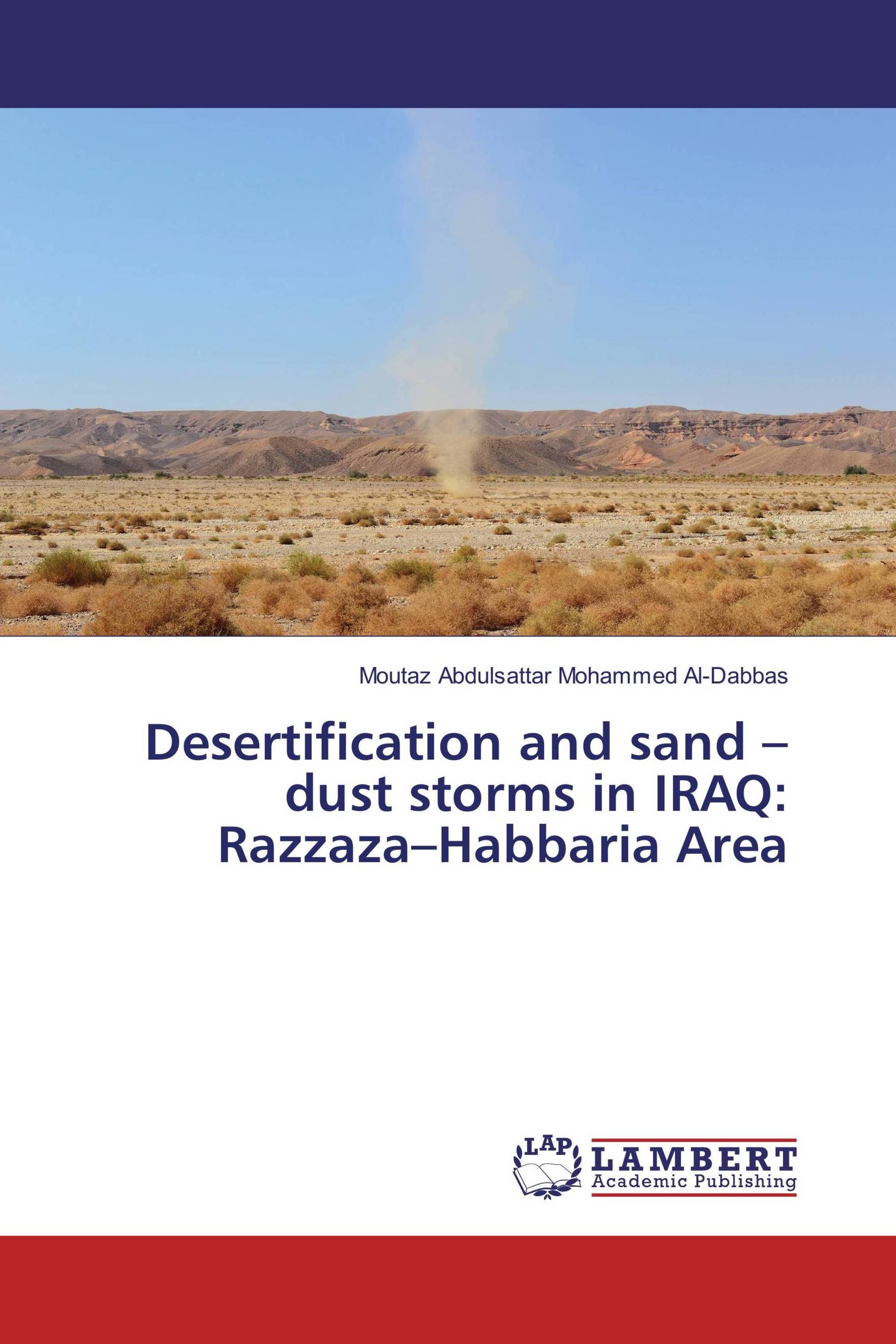
Depending on climate, landforms and land use, land degradation takes different forms in different parts in Iraq. In the rangelands and rain-fed arable areas, wind erosion is characteristic, while in the irrigated areas, soil salinization due to unsuitable irrigation-farming practices can be widely observed. To manage the natural vegetation and plan the rehabilitation of degraded range areas efficiently, integrating the use of satellite imagery and Geographic Information Systems are very important in Iraqi arid and semi-arid regions. The aims of this study are: to analyses the climatologic data collected from the Iraqi meteorological stations for precipitation and evaporation, to investigate the sand dust storms over Iraq and to use the remote sensing documents for detection and delineating the classified units of rangelands, desertification activities, and produce final maps that include: land use maps, and geomorphology maps of Razzaza - Habbaria Area as case study , as well as focuses on careful and comprehensive review of available information .
Book Details: |
|
|
ISBN-13: |
978-3-659-89064-2 |
|
ISBN-10: |
3659890642 |
|
EAN: |
9783659890642 |
|
Book language: |
English |
|
By (author) : |
Moutaz Abdulsattar Mohammed Al-Dabbas |
|
Number of pages: |
104 |
|
Published on: |
2016-05-17 |
|
Category: |
Geosciences |
