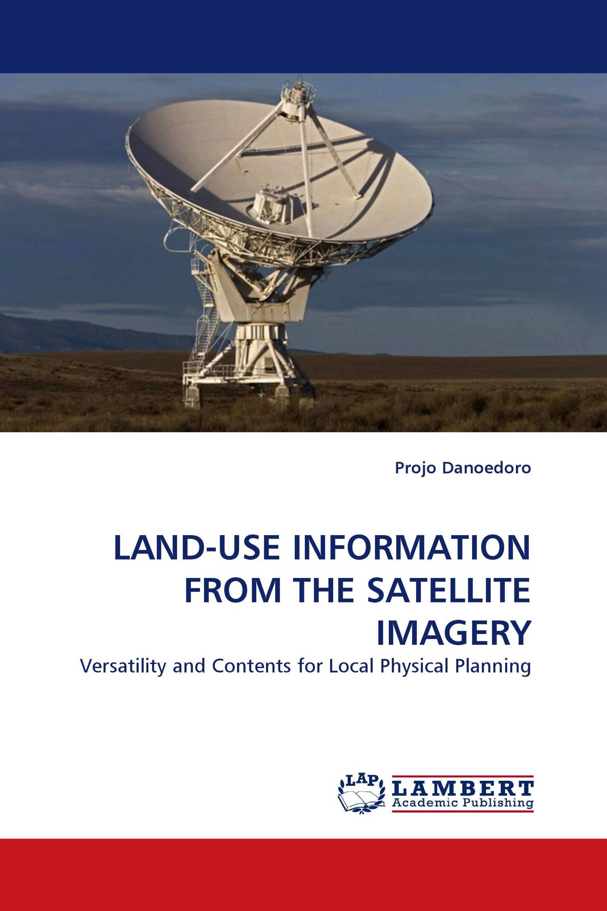
LAND-USE INFORMATION FROM THE SATELLITE IMAGERY
Versatility and Contents for Local Physical Planning
LAP Lambert Academic Publishing ( 13.09.2010 )
€ 79,00
Land-use mapping is one of the main applications of remote sensing. However, systematic land-use mapping program at local level using satellite image processing is still rare to find. This book explains the importance of land-use information for local planning, and makes use Indonesian complex land-use phenomena as an example. This study proposes a concept of versatile land-use information system (VLUIS), which can be used to support various local physical planning tasks. The VLUIS develops five land-use dimensions comprising spatial, temporal, ecological and socio-economic aspects. Each dimension is processed using different analysis methods and can be presented as a separate map. However, all dimensions can be integrated in a single land-use database, ready for spatial queries and translation between classification systems. Examples are given using Landsat ETM+ and Quickbird imagery. This book is useful for those who practice or study geography and remote sensing, and for planners who need accurate and relevant land-use information in their daily activities.
Kitap detayları: |
|
|
ISBN-13: |
978-3-8383-2252-0 |
|
ISBN-10: |
3838322525 |
|
EAN: |
9783838322520 |
|
Kitabın dili: |
English |
|
Yazar: |
Projo Danoedoro |
|
Sayfa sayısı: |
320 |
|
Yayın tarihi: |
13.09.2010 |
|
Kategori: |
Şehir, alan ve peyzaj planlama |


