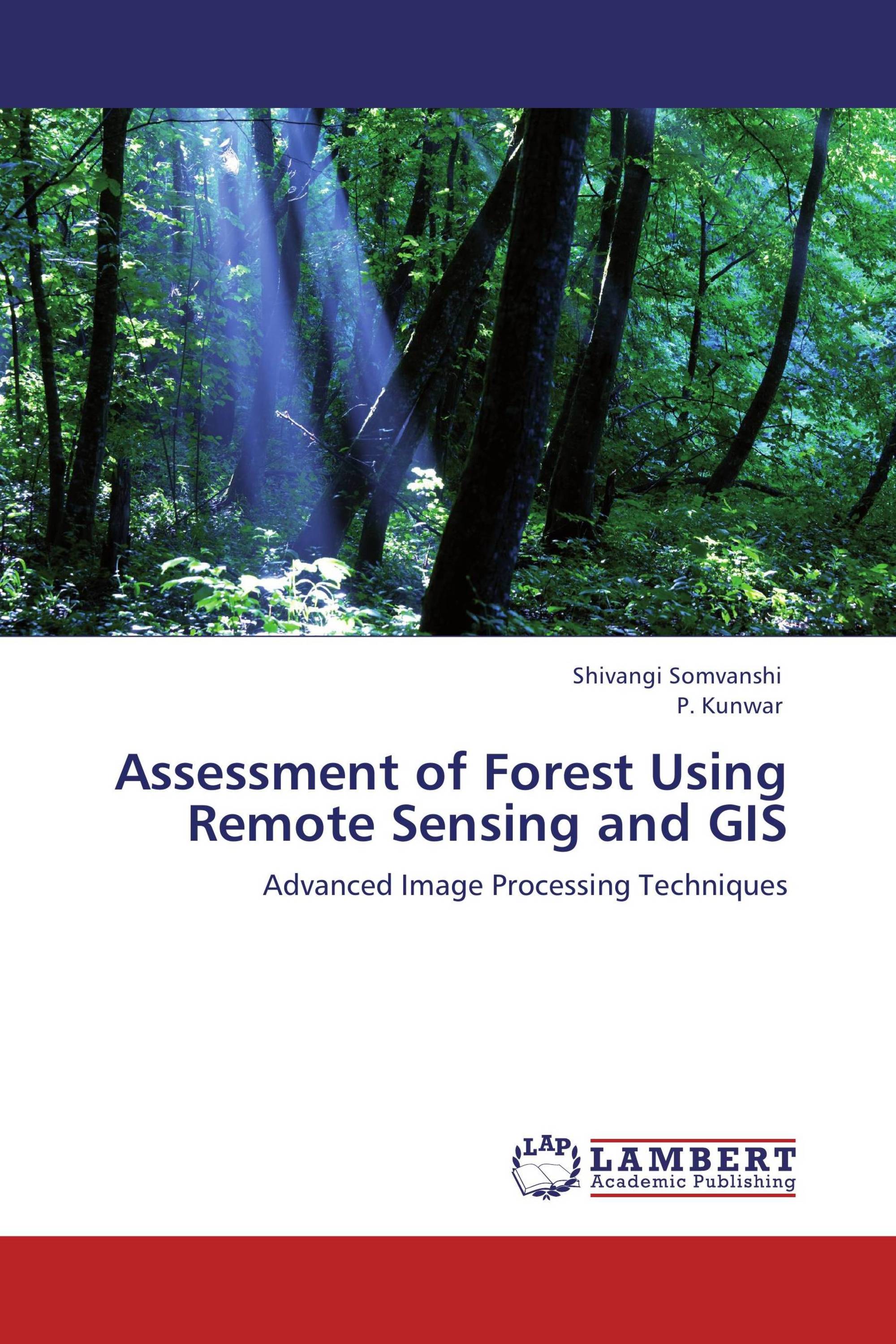
Assessment of Forest Using Remote Sensing and GIS
Advanced Image Processing Techniques
LAP Lambert Academic Publishing ( 2012-05-17 )
€ 59,00
As remote sensing data and methods have become increasingly complex and varied - and increasingly reliable - so have their uses in forest assessment and management. New algorithms have been developed in virtually every aspect of image analysis, from classification to enhancements to estimating parameters. Assessment of forest using Remote Sensing and GIS reviews the literature and provides the tools for understanding and choosing remote sensing solutions for management problems. The book presents methods and operational examples of the use of image processing in forest change detection, forest classification, and forest growth modeling. The chapters discuss research issues and the future of remote sensing technologies. The author draws a comprehensive picture of the state of the art in remote sensing data and methods applicable to sustainable forest management issues.
Book Details: |
|
|
ISBN-13: |
978-3-659-13135-6 |
|
ISBN-10: |
3659131350 |
|
EAN: |
9783659131356 |
|
Book language: |
English |
|
By (author) : |
Shivangi Somvanshi |
|
Number of pages: |
172 |
|
Published on: |
2012-05-17 |
|
Category: |
Agriculture, horticulture, forestry, fishery, nutrition |


