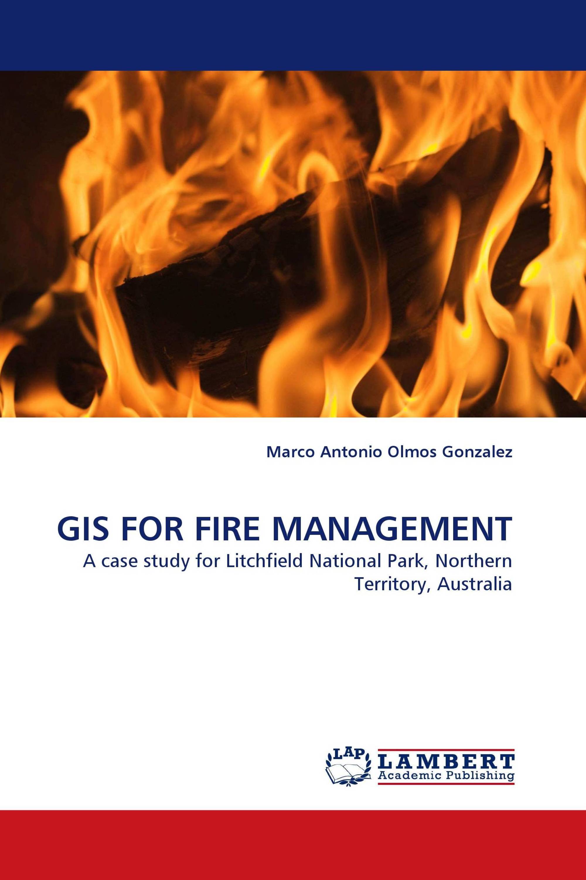
GIS FOR FIRE MANAGEMENT
A case study for Litchfield National Park, Northern Territory, Australia
LAP Lambert Academic Publishing ( 22.05.2010 )
€ 49,00
The use of fire as a management tool is a challenging issue for conservation managers. The identification of critical areas for prescribed burning is of extreme importance due to the limited resources available for this purpose. A Geographical Information System (GIS) has been developed to model and quantify fire threat in Litchfield National Park. The important factors favouring fire conditions, particularly probability of ignition and fire behaviour, were combined to demonstrate the spatial variation in the levels of threat in the Park. Outputs of the model include the identification of fire risk, fire hazard, ecological and economic values, and the fire threat these values may be under. Preliminary results demonstrate the potential of the model to develop different scenarios that can be used by managers to assess the options available concerning prescribed fire. GIS make it possible to improve knowledge of the geospatial distribution of fire threat, which is crucial in the field of Natural Resource Management.
Детали книги: |
|
|
ISBN-13: |
978-3-8383-1684-0 |
|
ISBN-10: |
3838316843 |
|
EAN: |
9783838316840 |
|
Язык книги: |
English |
|
By (author) : |
Marco Antonio Olmos Gonzalez |
|
Количество страниц: |
64 |
|
Опубликовано: |
22.05.2010 |
|
Категория: |
Науки о Земле |


