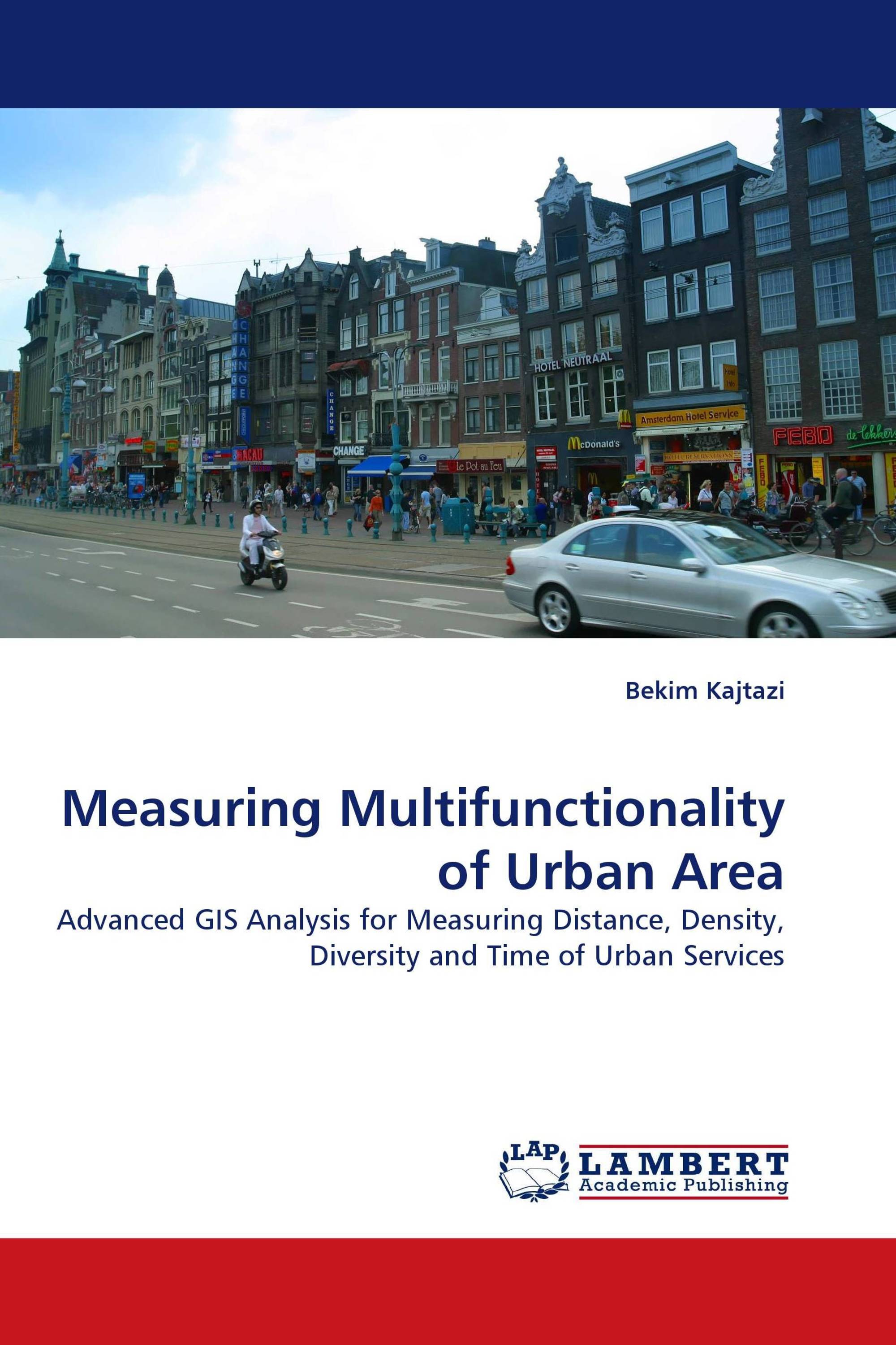
Measuring Multifunctionality of Urban Area
Advanced GIS Analysis for Measuring Distance, Density, Diversity and Time of Urban Services
LAP Lambert Academic Publishing ( 19.08.2010 )
€ 49,00
Multifunctional land use (MLU) planning has been introduced as a new planning concept in the late 1990s. It is one of the newest concept and addresses the issues of inefficient use of space, dependency of people to travel by car, and urban sprawl. For studying the possible advantages and disadvantages, a number of researches have addressed the problem of quantifying the MLU. This research addresses the problem of identifying the spatial indicators for measuring the multifunctionality of urban area. Furthermore, a new method for measuring the multifunctionality is introduced. The method is developed based on the MLU as a planning concept and as an empirical phenomenon of agglomeration of activities. The spatial indicators: Distance, Density, Diversity and Time are used to measure and visualize multifunctionality. In addition the patterns and the potential for further increase are identified. This book is for urban planners and planning manager who would like to explore the multifunctional land use in their towns. However, young researchers will find it very useful for understanding planning concepts and the application of advanced geo-information technology in Urban Planning.
Kitap detayları: |
|
|
ISBN-13: |
978-3-8383-9073-4 |
|
ISBN-10: |
3838390733 |
|
EAN: |
9783838390734 |
|
Kitabın dili: |
English |
|
Yazar: |
Bekim Kajtazi |
|
Sayfa sayısı: |
120 |
|
Yayın tarihi: |
19.08.2010 |
|
Kategori: |
Şehir, alan ve peyzaj planlama |


