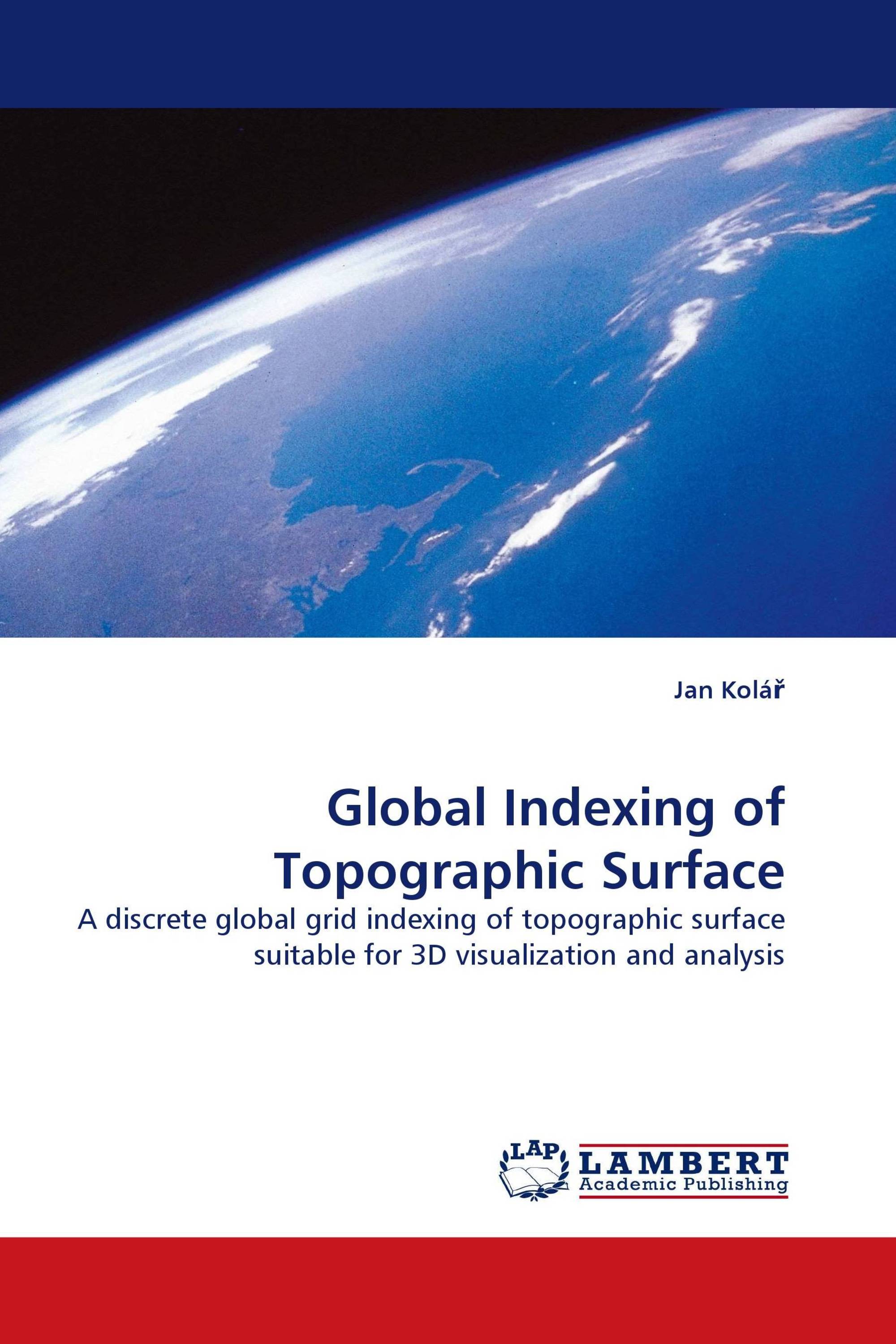
Global Indexing of Topographic Surface
A discrete global grid indexing of topographic surface suitable for 3D visualization and analysis
LAP Lambert Academic Publishing ( 13.01.2010 )
€ 79,00
Based on the author''s Ph.D. thesis, the book introduces an original Global Indexing Grid and its application to modelling of the topographic surface. GIG systematically subdivides the three-dimensional space into sectors or cells that are distributed radially in all directions around the given origin. The resulting scheme belongs to the field of discrete global grids that is dealing with tessellation of the surface of the sphere. GIG subdivides the sphere without use of any intermediate projection into planar coordinates and allows for systematic subdivision at arbitrary level of resolution. The motivation for GIG was to find a flexible data representation for the entire planet''s topographic surface that is suitable for geo-spatial services on computer networks. Starting from this standpoint the work elaborates a study connecting a range of disciplines: spatial databases, computer system development and visualization on one end of the range, and determination of the figure of the Earth and mapping of the topographic surface on the other. This book is for researchers dealing with design of visual spatial information services coupled to representation of geographic features.
Детали книги: |
|
|
ISBN-13: |
978-3-8383-3828-6 |
|
ISBN-10: |
3838338286 |
|
EAN: |
9783838338286 |
|
Язык книги: |
English |
|
By (author) : |
Jan Kolář |
|
Количество страниц: |
244 |
|
Опубликовано: |
13.01.2010 |
|
Категория: |
Информатика, ИТ |


